

Archaeologists from Jagiellonian University in Krakow, Poland, have unearthed petroglyphs that are believed to be ancient astronomical maps in the ancestral city of the Pueblo Indians. This culture is regarded as one of the most sophisticated pre-Columbian societies.
The discovery was made within the Castle Rock Pueblo settlement complex, situated on the Mesa Verde plateau at the juncture of the American states of Colorado and Utah. Previous research in this area unearthed XII and XIII-century petroglyphs and XV-XVII-century cliff panels depicting hunting scenes.
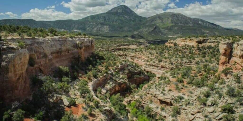
This time, researchers ascended one of the most inaccessible sections of the Sand Canyon. Residents had informed them about images of the rocks, and indeed, they were found at a height of 800 meters. Mysterious petroglyphs span around four kilometers, forming comprehensive panels encircling a large plateau.
“We underestimated the number of inhabitants living here in the 13th century and the complexity of their religious rites, which presumably took place near these panels.”
— Radosław Palonka, Professor at Jagiellonian University in Krakow, Poland

Carved on the stone panels are spirals measuring up to a meter in diameter. The Pueblo people used these spirals for astronomical observations, marking the summer and winter solstices and the spring and autumn equinoxes. Painted depictions of warriors and shamans were also found, believed to date back to the 3rd century AD, according to researchers.
The Pueblo were an early Native American civilization that emerged around 100 AD. They were known for constructing multi-story homes directly into cliffs and were skilled in crafting jewelry.

The discovery of these ancient astronomical maps sheds new light on the sophisticated knowledge and practices of the Pueblo people, offering fascinating insights into their culture and rituals.